Stop 6 of 12
Art, science and education
Opening to cleared pasture
A long-term art and science site on a regenerating forest bank, and the outdoor classroom for QUT's high-school biology program.
Look forLook for the opening to cleared pasture, the regenerating forest bank and the grassy wetland gully.
Watch field note
A short video connected to this stop.
Captions, transcript and media credit pending confirmation.
What this is
- The Forest Art Intelligence project runs on this gently sloping bank, involving natural regeneration of pre-existing forest and preservation of the connected grassy wetland gully.
- Developed in partnership with the Australian Network for Art and Technology and TERN.
Why it matters
- The project draws public attention to the natural intelligence of living systems by developing experimental art forms that grow and evolve alongside regenerating ecosystems.
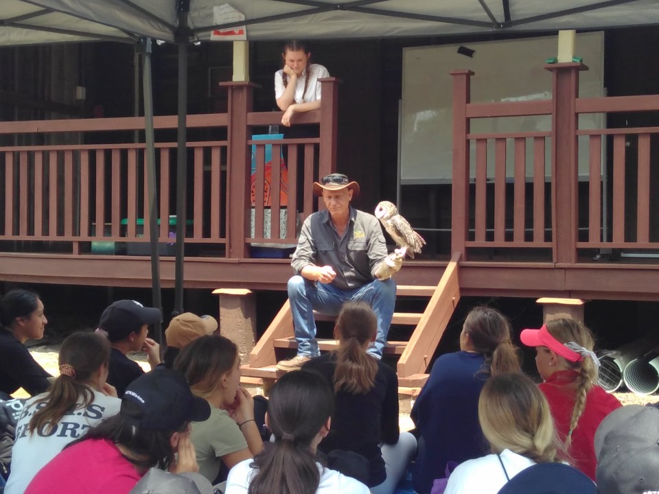
- QUT also runs a high school engagement program here. More than 800 Year 11 and Year 12 students visit SERF each year to complete Biology Unit 3 mandatory practical assessments, including ecological sampling.
What to notice
- The open pasture edge meeting regenerating forest.
- The grassy wetland gully connected to the regenerating bank.
Research connection
Combines long-term ecological regeneration with public science learning and formal secondary-school assessment.
Source: QUT Engaging Science Trail, Stop 6
Open in maps
If your preview blocks the map page, copy the link and open it in a new tab.
External maps open the stop location only. Use the in-app trail overview for moving between stops.
Next on the trail
Stop 7: Soil pit
Continue along the loop to the soil pit.
Orientation assist
The next stop is roughly northwest from here. Use the trail map and site signs or markers where available to stay oriented.
When you arrive, look forLook for the soil pit used to reveal soil horizons for field classification.
Follow the numbered trail overview and site signs or markers where available.
Can't find the next stop?
Return to the trail map and check the nearest on-site marker or sign. Stay on marked public paths and do not rely on this prototype for turn-by-turn navigation.
Back to trail mapWas this useful on the ground?
Local prototype feedback. Stored on this device only.